🗺️ An Atlas of American Gun Violence
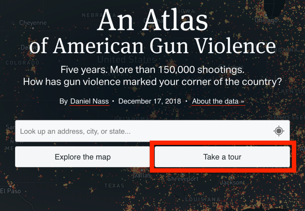
The Trace is an independent, nonpartisan, nonprofit newsroom dedicated to exposing information about the gun violence crisis in America. On December 17, 2018 they published a map displaying fatal and nonfatal shootings over five years across every state in the union. The information is fascinating to explore.
The Gun Violence Map: Five Years of American Shootings
When you first open the map, choose the ‘Take a tour’ option to explore the short guided tour.
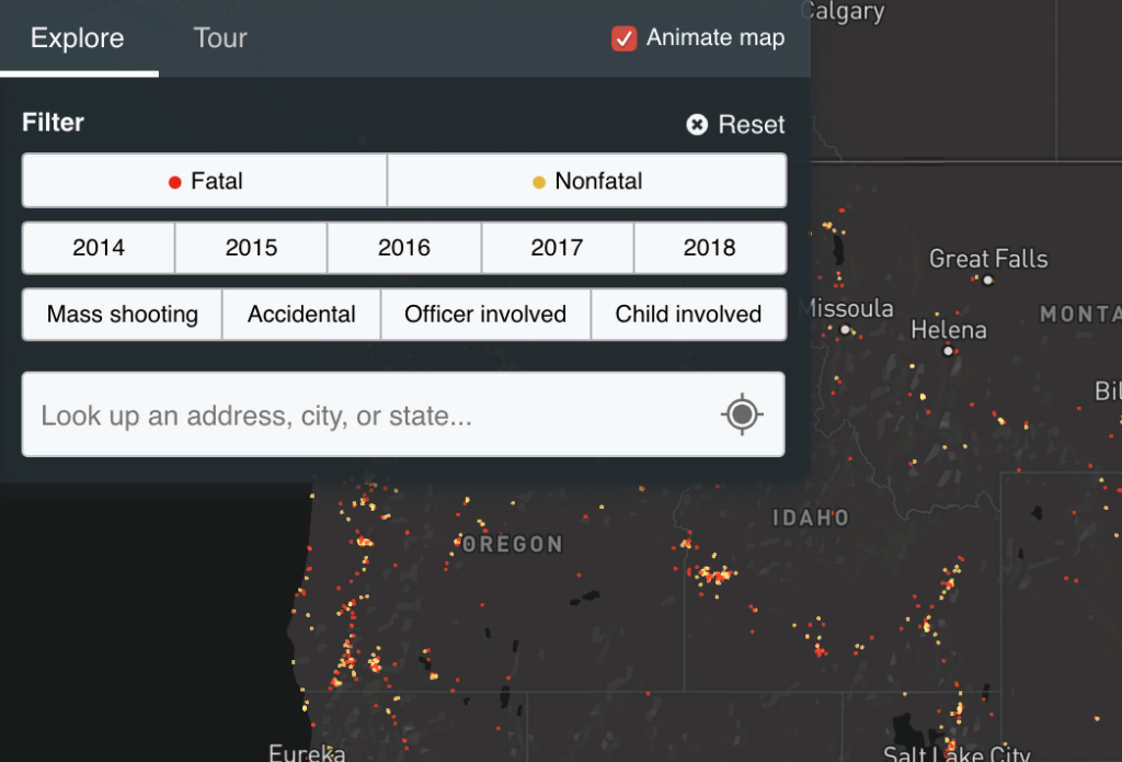
Once you finish the tour, you will be given the chance to explore the map on your own. Enter a city or state into the search box to zoom in on that specific region. Alternatively you can grab to pan and scroll to zoom like you would in Google Maps. Additionally, use the filter options provided to explore different cross sections of the shooting data.
If you care about gun violence, please support the work that The Trace performs.
🗺️ An Atlas of American Gun Violence Read More »